Single Turbine Engine
Airbus H125 FX2
Cruise
115-130 kt
Endurance
2.7 hr
5
Guests

ASSET INSPECTION | PROJECT OVERSIGHT
Without the road hours.
SURVEY PLATFORM
for serious observation.
Helicopter aerial survey changes the pace of decision-making. Instead of inspecting assets in fragments from the road, you can brief the route once, cover the entire area from the air, and keep key stakeholders looking at the same thing at the same time. That is why survey flights work so well for utilities, developers, infrastructure teams and project managers.
Bekaa Air provides the aircraft, pilot-direct mission planning and local airspace knowledge to make those flights productive. Whether the brief is a corridor review, a development overview, a construction-progress check or a stakeholder familiarisation flight, we structure the mission around what you need to see and when you need to see it.
SURVEY APPLICATIONS
makes the difference.
MISSION FLOW
a survey flight.
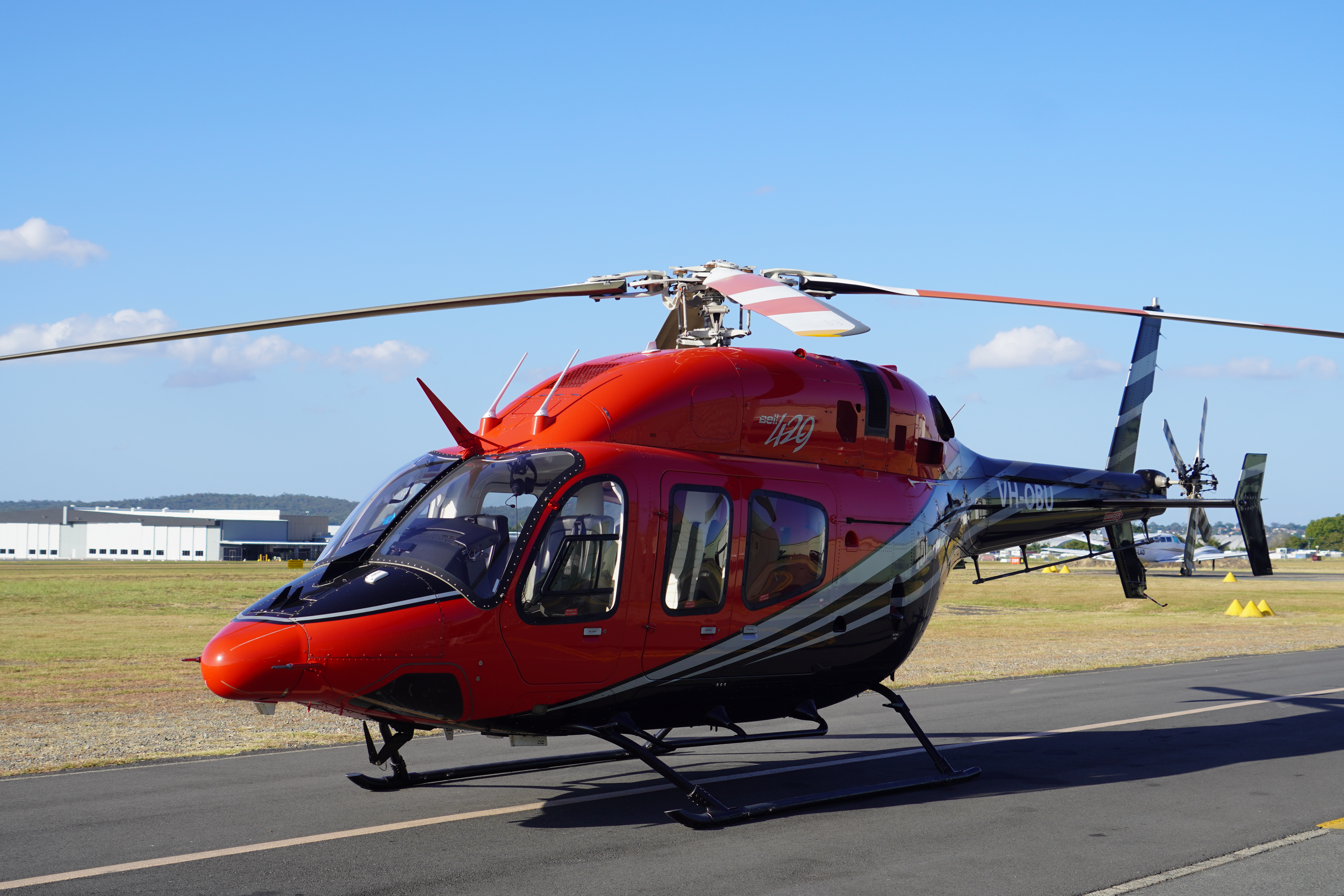
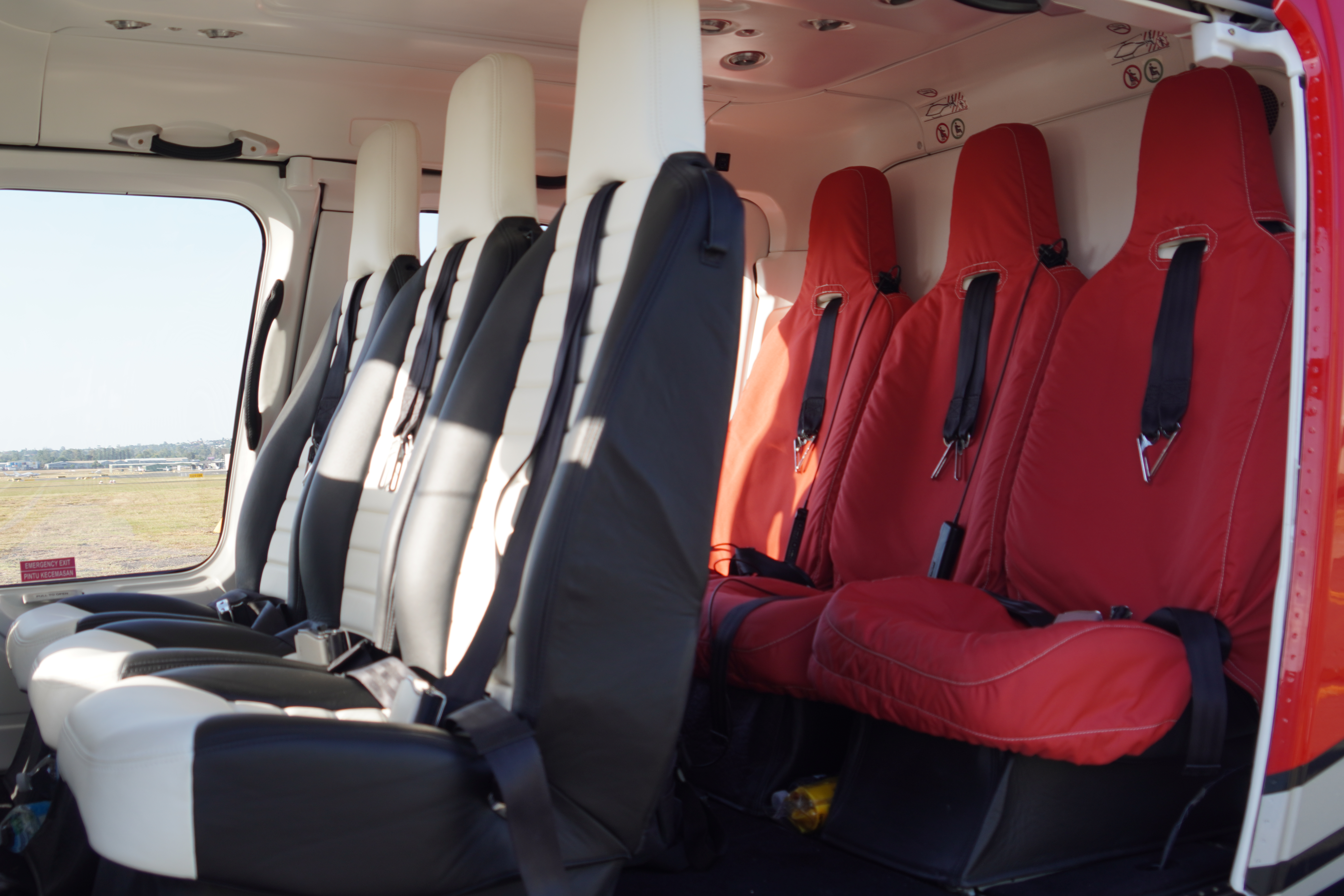
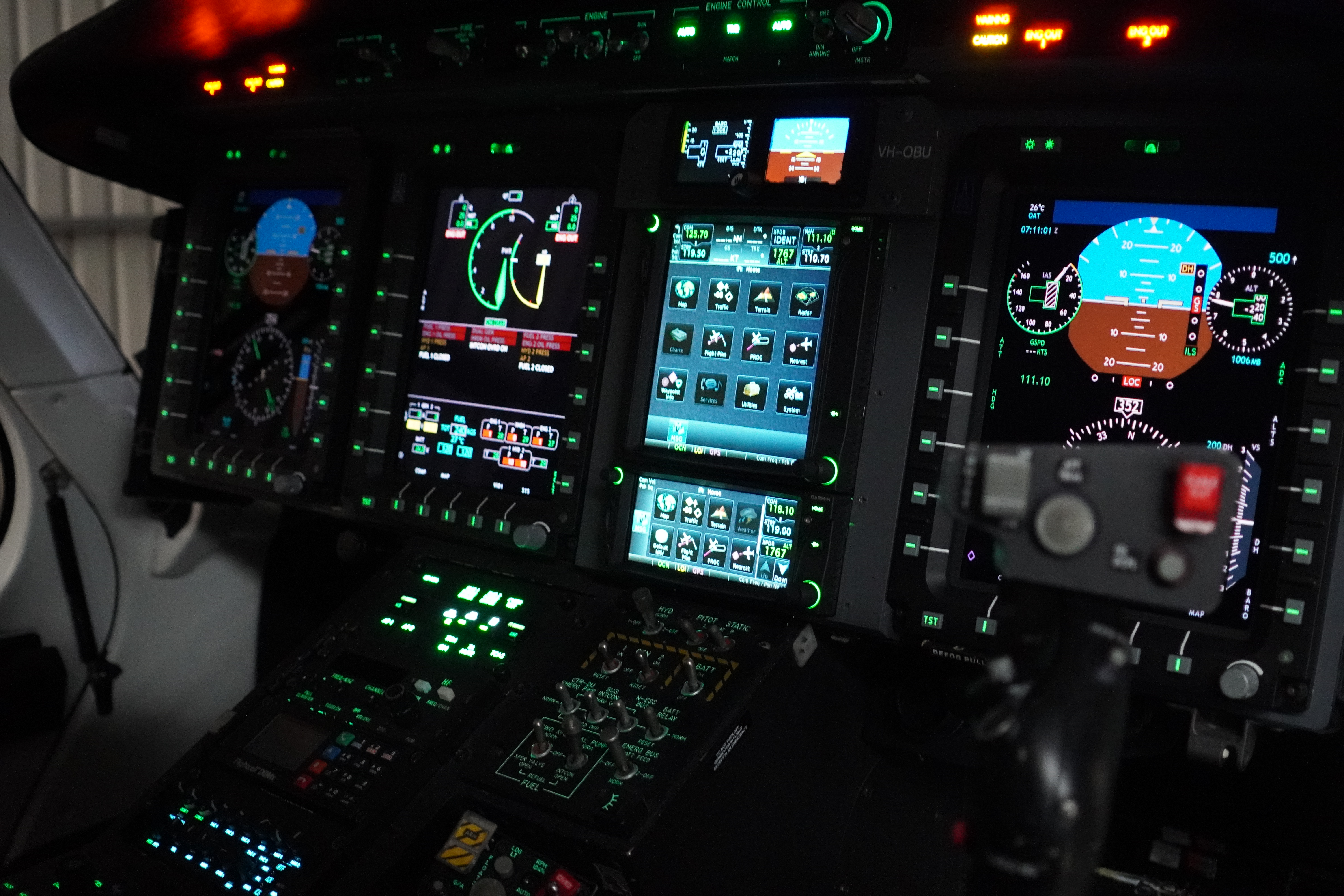
AIRCRAFT OPTIONS
for the survey brief.
PLAN THE FLIGHT
SURVEY FAQ
questions answered.
OUR HELICOPTERS
The Fleet.


PLAN THE FLIGHT